elephant-icon-2
0 Safaris & Tours
reviews icon
0 Reviews
Wildlife Safaris by

Overview

Bale Mountains Brilliant Tours offers expertly guided Ethiopia holidays, from adventure and wildlife tours to cultural and religious journeys. Based in Ethiopia and awarded “Best Local Tourist Guide” by the Oromia Tourism Commission in 2023, we specialize in tailor-made itineraries for individuals, groups, and professionals. Whether you’re into trekking, birdwatching, photography, or exploring Ethiopia’s rich heritage, our multilingual team ensures a personalized and unforgettable experience. With 24/7 support, customized packages, and deep local knowledge, Bale Mountains Brilliant Tours is your trusted partner for discovering Ethiopia’s diverse landscapes and traditions.

bale mountains brilliant tours

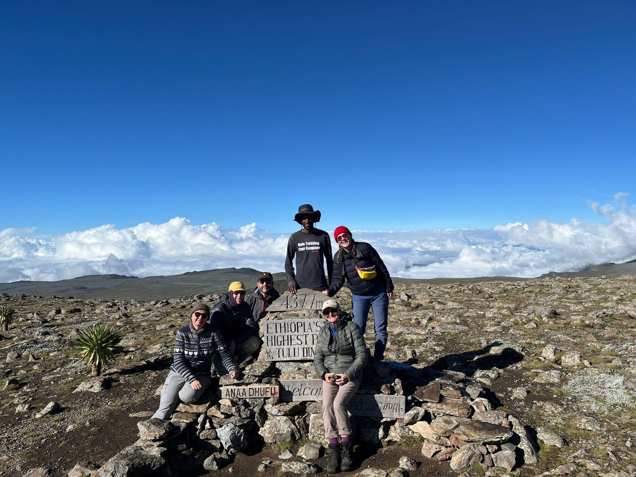
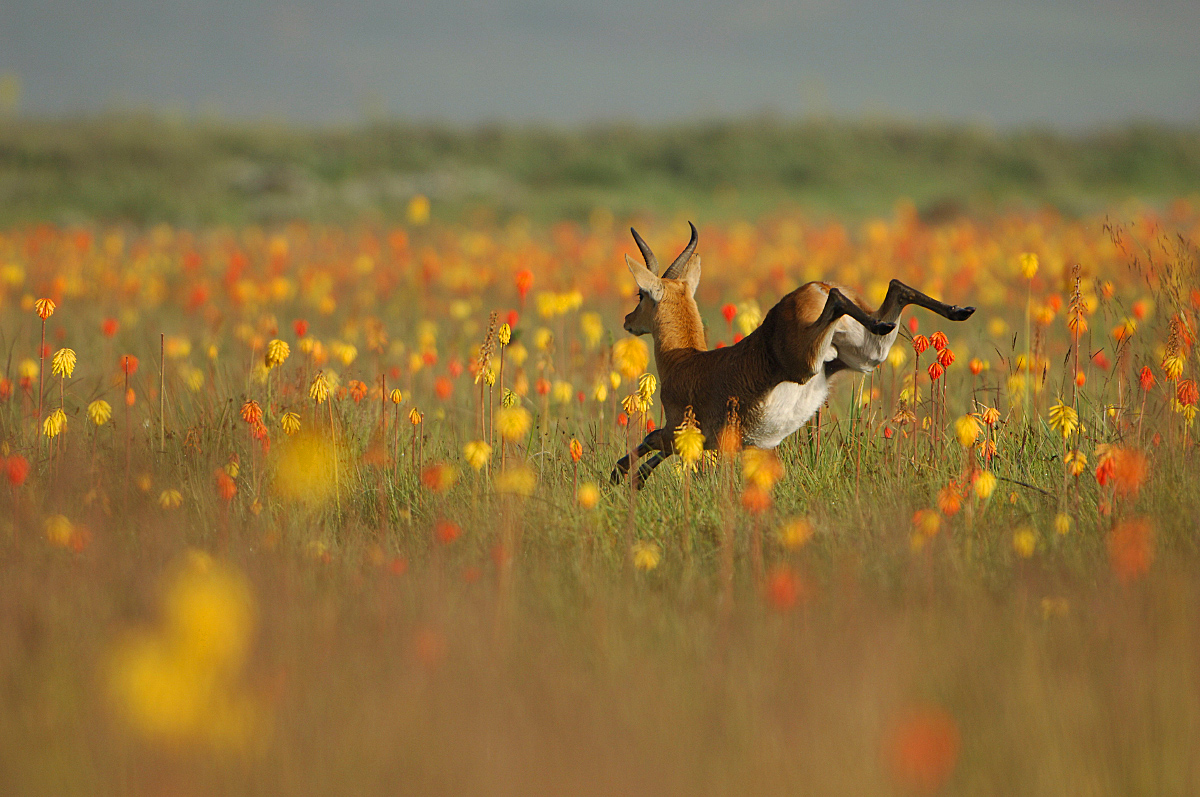
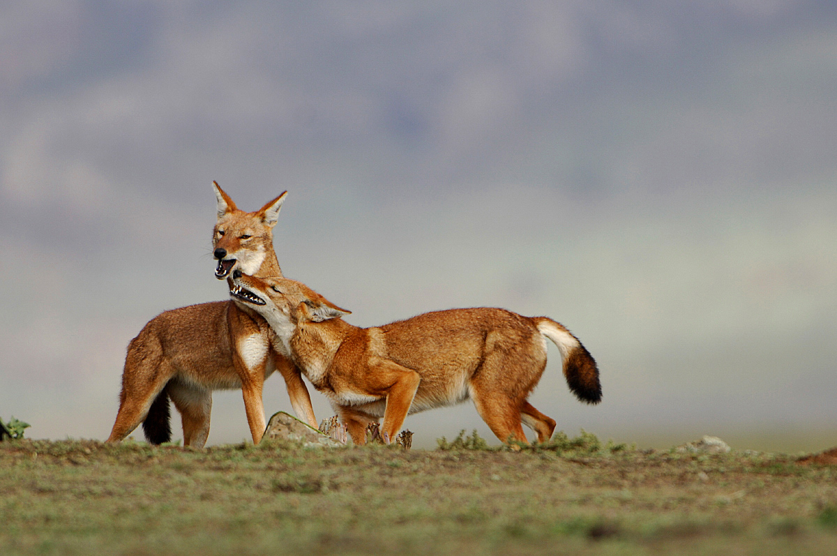
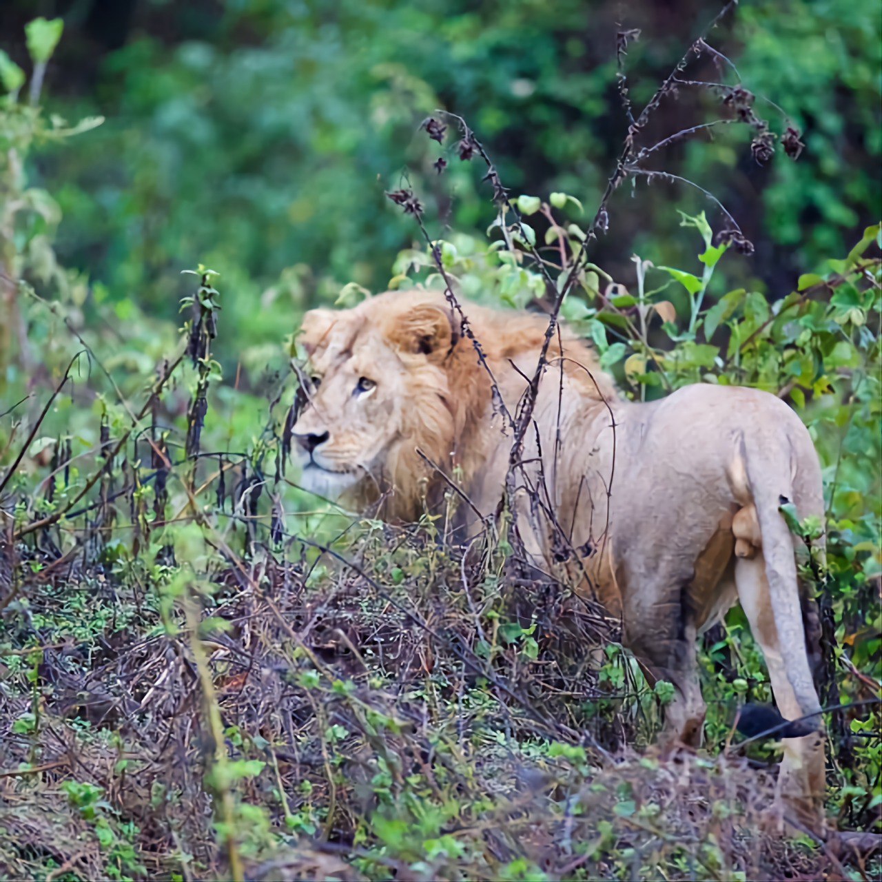
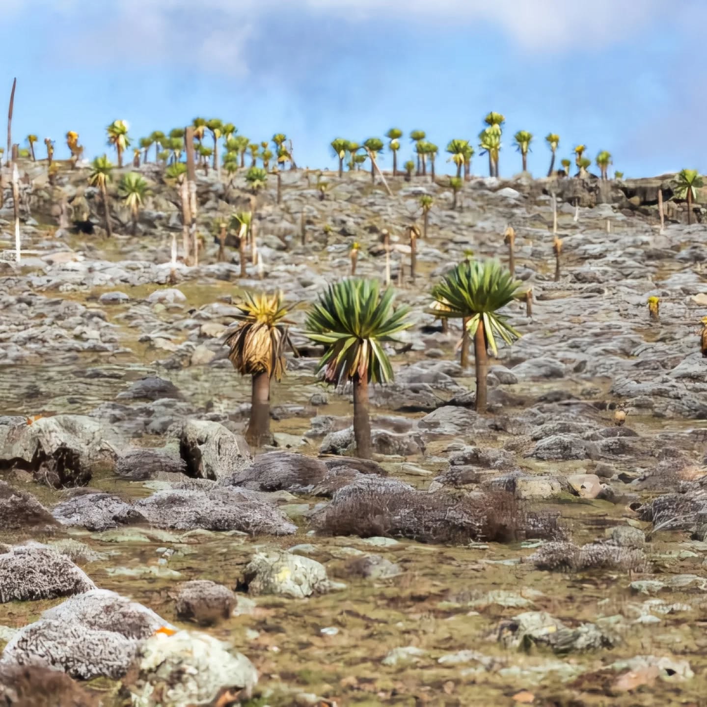
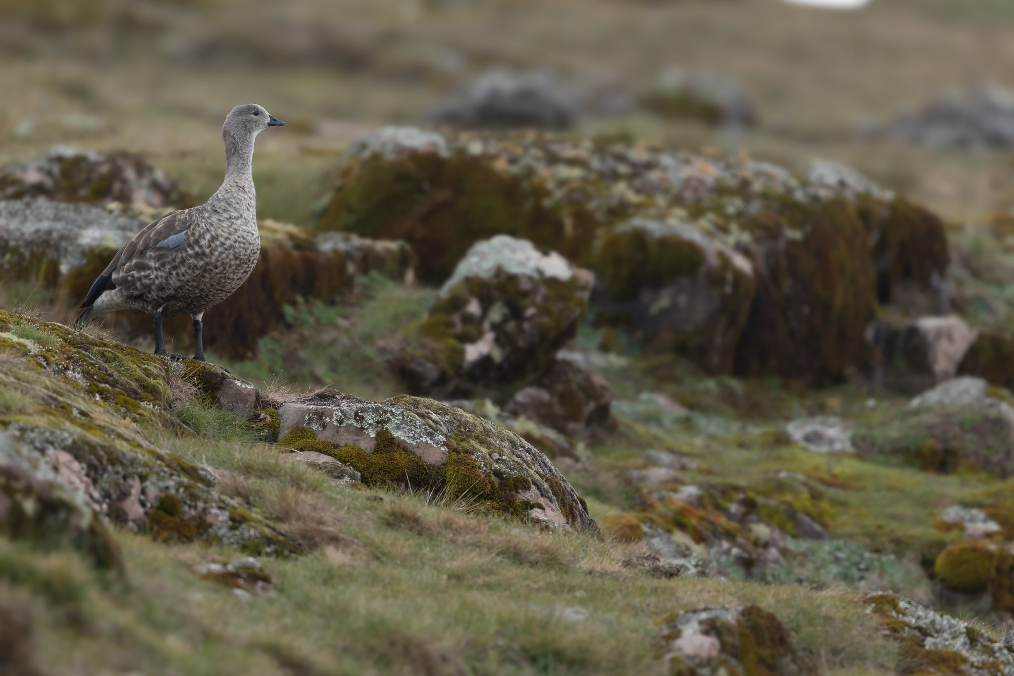
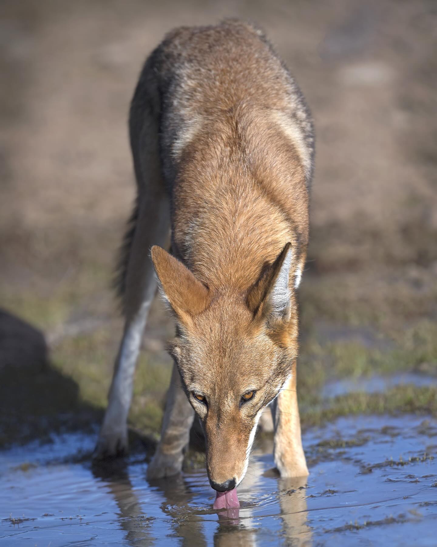
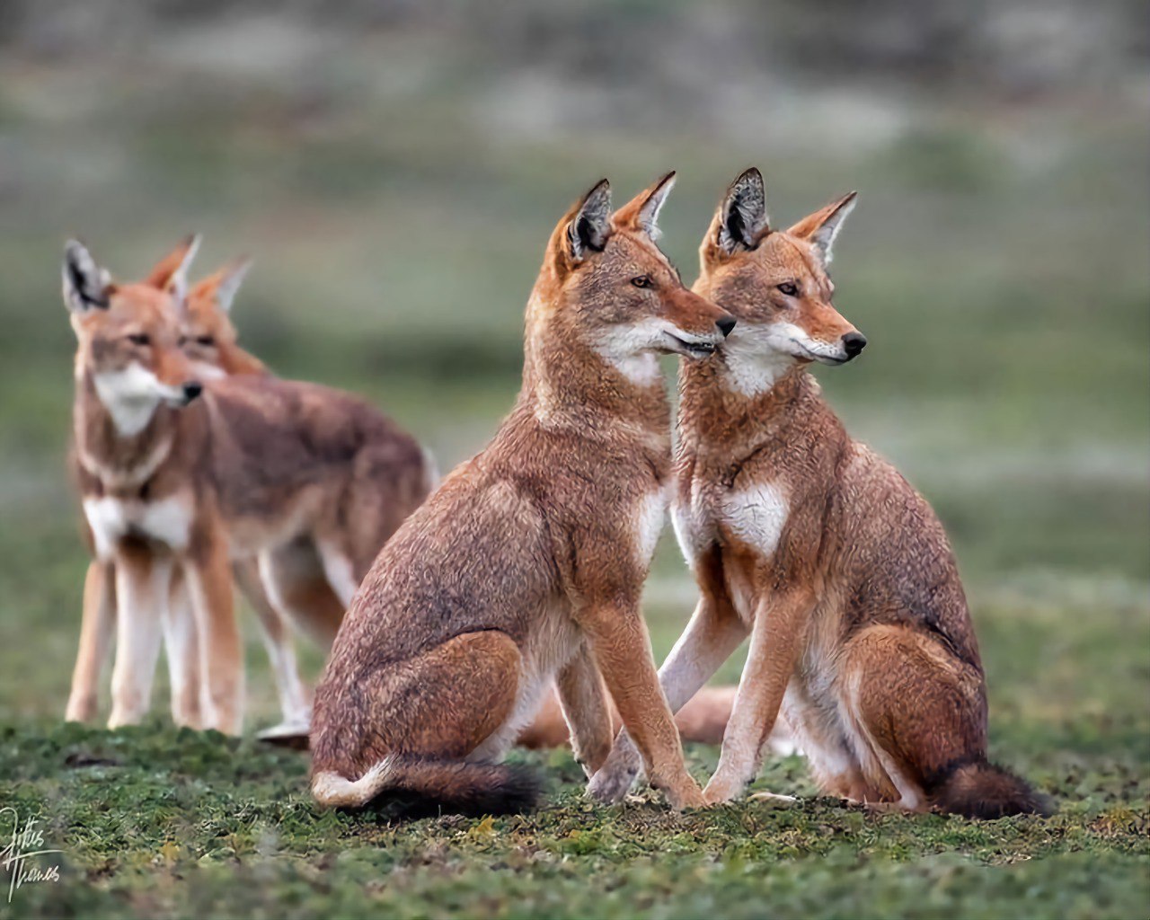
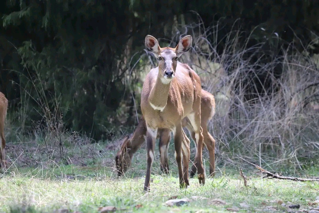
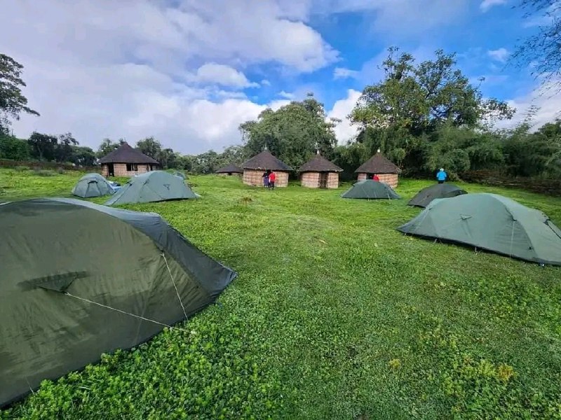
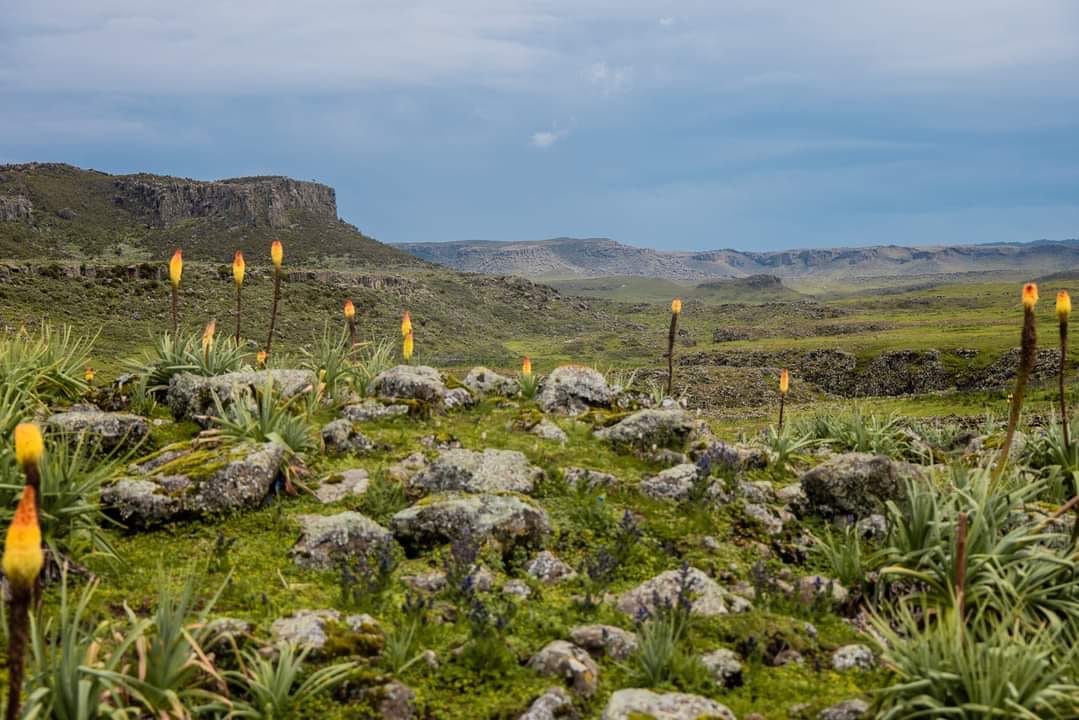
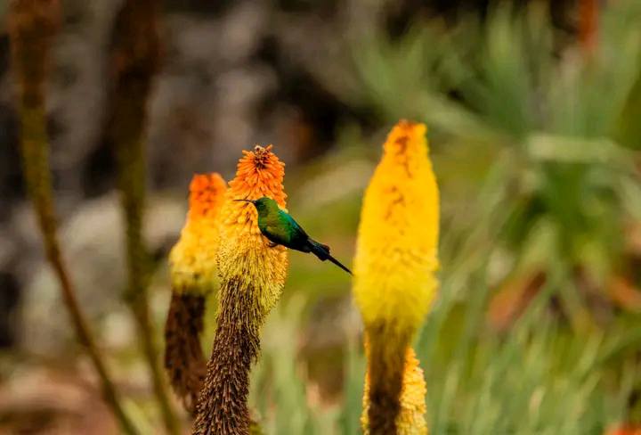
Bale mountains national park ethiopia

Location within Ethiopia: Clearly shows the Bale Mountains in southeastern Ethiopia, within the Oromia National Regional State, approximately 400 km southeast of Addis Ababa.Part of the Ethiopian Highlands: Places the Bale Mountains within the broader context of the "Roof of Africa," indicating its significance as one of the highest and most extensive mountain ranges in the country.National Park Boundary: Delineates the approximate 2,200 km² (or 2,150 km²) area of the Bale Mountains National Park, signifying the protected zone.2. Topography and Elevation:Altitude Gradient: Uses a clear color-coded elevation key, showcasing the dramatic altitudinal range from around 1,500 meters in the south (Harenna Forest) to 4,377 meters at Tullu Dimtu, the second-highest peak in Ethiopia.Tullu Dimtu: Prominently marks Tullu Dimtu as the highest point within the park.Volcanic Peaks and Ridges: Illustrates the numerous volcanic cones and ridges that characterize the landscape, a result of ancient lava outpourings and subsequent glaciation.Glacial Features: Might indicate areas with evidence of past glaciation, such as glacial lakes, U-shaped valleys, and unique periglacial patterns (like stone stripes) on the Sanetti Plateau.Harenna Escarpment: Shows the dramatic southern escarpment, where the high plateau drops steeply into the Harenna Forest.3. Major Ecological Zones (Habitats): A good map would clearly differentiate these distinct zones, often using different colors or textures:Sanetti Plateau (Afro-alpine Moorland): Dominates the central and highest part of the map, characterized by its vast, undulating expanse, dotted with numerous small glacial lakes, wetlands, and the iconic giant lobelia plants. This would be depicted as an open, high-altitude terrain.Erica Belt (Ericaceous Moorlands/Forests): Located immediately below the Sanetti Plateau, typically between 3,200m and 3,800m. This would show dense stands of giant heather (Erica arborea) forming a unique scrubland or forest.Northern Juniper Woodlands/Grasslands: Found on the northern slopes, this zone would show areas of juniper (Juniperus procera) and Hagenia abyssinica trees interspersed with grasslands, often around the park headquarters at Dinsho.Harenna Forest: Covers the southern, lower-lying parts of the park. This would be depicted as a dense, green, and extensive forest, signifying its role as one of Ethiopia's largest moist tropical cloud forests.4. Hydrography (Water Features):Rivers: Shows the numerous rivers originating within the park, such as the Web, Wabe Shebele, and Ganale, highlighting their importance as major water sources for downstream regions.Lakes/Tarns: Marks the scattered glacial lakes and tarns, especially prominent on the Sanetti Plateau.Waterfalls/Gorges: Might indicate significant waterfalls or deep gorges where rivers have carved through the landscape.5. Infrastructure and Key Locations:Park Headquarters (Dinsho): Clearly marked as a central point, often the starting point for treks.Roads/Tracks: Shows the main all-weather road crossing the Sanetti Plateau, as well as trekking routes and trails leading to various campsites and points of interest.Campsites: Specific locations of designated campsites for trekkers would be indicated.Nearby Towns: Includes towns like Goba, Robe, and Dodola, which serve as access points to the park.6. Biodiversity Hotspots (Implicit/Explicit): While not directly "mapped" with symbols, the description accompanying the map would emphasize:Ethiopian Wolf Stronghold: Highlight the Sanetti Plateau as the primary habitat for the critically endangered Ethiopian Wolf.Mountain Nyala Concentrations: Indicate areas like Dinsho and northern woodlands as prime spots for spotting Mountain Nyala.Birding Zones: Might show different zones (e.g., juniper woodlands, Afro-alpine, Harenna Forest) as key birdwatching areas.In essence, a descriptive map of the Bale Mountains would not just show basic topography but would be a comprehensive visual guide to its unique ecological zonation, geological history, and the distribution of its extraordinary biodiversity.
You are the first to review